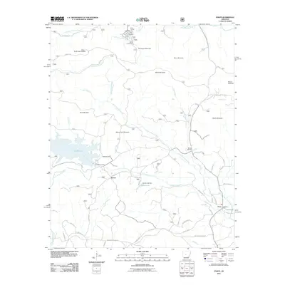
2011 Map of Paron
USGS Topo · Published 2011About this map
Reform and the surrounding timberlands of Saline County define this part of the eastern Ouachita Mountains in the early twenty-first century. The landscape is dominated by the intricate hydrology of the Alum Fork Saline River and North Fork Saline River, which feed into major reservoirs like Lake Winona. These water bodies serve as focal points for both infrastructure and recreation, evidenced by the Lake Winona Dam and the northern cluster of activity at Lake Sylvia, where Camp Ouachita and the Lake Sylvia Campground are located near the dramatic geological feature known as The Narrows.
Find a feature on this map
59 named features on this map. Tap any name to fly to it.
Don’t see what you’re looking for? This feature index may not catch every label — zoom into the map to look around manually.
Map Details
Editions of this 2011 Paron Map
This is the sole edition of this map. No revisions or reprints were ever made.
Other maps of this area

1890 · Benton
USGS Topo · 1:125,000

1894 · Benton
USGS Topo · 1:125,000

1938 · Benton
USGS Topo · 1:48,000

1944 · Benton
USGS Topo · 1:62,500

1955 · Little Rock
USGS Topo · 1:250,000

1956 · Little Rock
USGS Topo · 1:250,000

1960 · Little Rock
USGS Topo · 1:250,000

1963 · Paron SW
USGS Topo · 1:24,000
1963 · Thornburg
USGS Topo · 1:24,000

1963 · Fourche SW
USGS Topo · 1:24,000