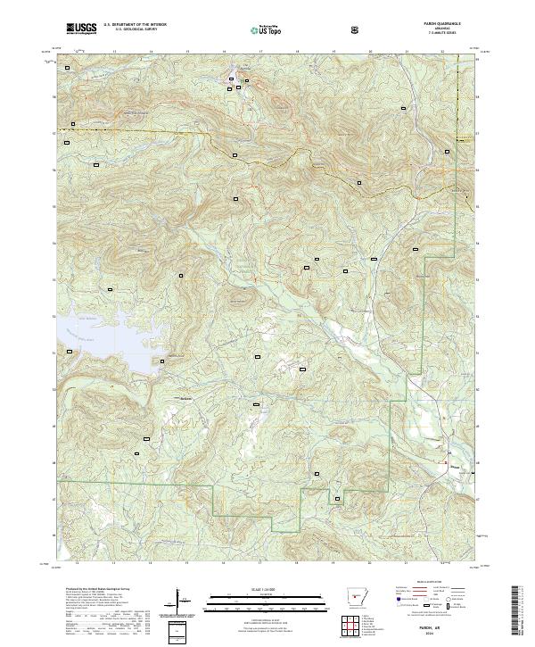
2024 Map of Paron
USGS Topo · Published 2024About this map
Ouachita National Forest dominates this section of the Arkansas interior, where the North Fork Saline River and Alum Fork Saline River carve through high ridges. The landscape is defined by its water resources, from the expansive Lake Winona and Lake Sylvia to the smaller Hansen Lake. Small settlements like Reform and Paron are connected by a network of forest roads and trails, including the Ouachita National Recreation Trl.
Find a feature on this map
67 named features on this map. Tap any name to fly to it.
Don’t see what you’re looking for? This feature index may not catch every label — zoom into the map to look around manually.
Map Details
Editions of this 2024 Paron Map
This is the sole edition of this map. No revisions or reprints were ever made.
Other maps of this area

1890 · Benton
USGS Topo · 1:125,000

1894 · Benton
USGS Topo · 1:125,000

1938 · Benton
USGS Topo · 1:48,000

1944 · Benton
USGS Topo · 1:62,500

1955 · Little Rock
USGS Topo · 1:250,000

1956 · Little Rock
USGS Topo · 1:250,000

1960 · Little Rock
USGS Topo · 1:250,000

1963 · Paron SW
USGS Topo · 1:24,000
1963 · Thornburg
USGS Topo · 1:24,000

1963 · Fourche SW
USGS Topo · 1:24,000