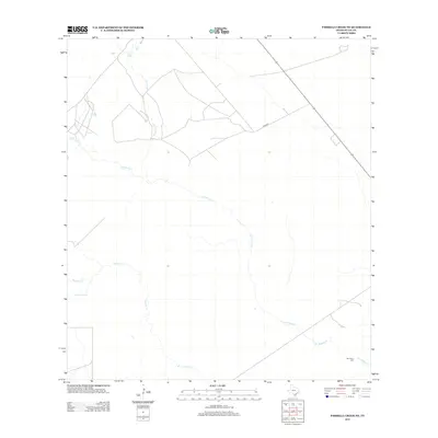
2013 Map of Parrilla Creek NE
USGS Topo · Published 2013About this map
The ephemeral drainage systems of the Brush Country define this portion of Duval County, where Las Animas Cr and Parrilla Cr wind through an arid landscape. The map illustrates a region predominantly structured by large ranching tracts and industrial activity, evidenced by the network of private access roads and cleared pads that intersect with rural routes like Co Rd-342. In the southeastern corner, the San Isidro Cem stands as a significant cultural landmark for local genealogists, situated near the confluence of the north and south branches of the seasonal creeks. This survey provides a clear view of the water management and land use patterns common to South Texas, showing the forks of Animas Cr N, Animas Cr S, Parrilla Cr N, and Parrilla Cr S as they shape the local topography.
Find a feature on this map
8 named features on this map. Tap any name to fly to it.
Don’t see what you’re looking for? This feature index may not catch every label — zoom into the map to look around manually.
Map Details
Editions of this 2013 Parrilla Creek NE Map
This is the sole edition of this map. No revisions or reprints were ever made.
Other maps of this area

1956 · Benavides
USGS Topo · 1:62,500

1956 · Rosita Ranch
USGS Topo · 1:62,500

1956 · Freer
USGS Topo · 1:62,500

1956 · Laredo
USGS Topo · 1:250,000

1967 · Parrilla Creek SE
USGS Topo · 1:24,000

1968 · Parrilla Creek SW
USGS Topo · 1:24,000

1968 · Benavides NW
USGS Topo · 1:24,000

1968 · Benavides
USGS Topo · 1:24,000

1968 · Parrilla Creek NW
USGS Topo · 1:24,000

1968 · Parrilla Creek NE
USGS Topo · 1:24,000