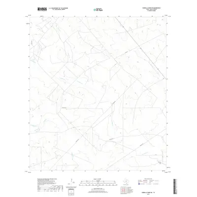
2019 Map of Parrilla Creek NE
USGS Topo · Published 2019About this map
San Isidro Cem serves as a small, quiet landmark in the southeastern corner of this Duval County landscape, where the terrain is defined by a complex network of ephemeral drainage. The hydrology is centered on Parrilla Cr and the extensive Las Animas Cr system, which includes distinctive branches such as Animas Cr N and Animas Cr S. This area of South Texas reflects a pattern of large-scale landholdings, evidenced by the prevalence of private access routes like Privranch Rd. While county thoroughfares like Co Rd 342 and Cr 315 provide a basic grid for local transit, the lack of concentrated town sites emphasizes the region's ranching character. The map details the subtle elevation changes between the creek beds, providing essential data for understanding the rural development and water management of this part of the Brush Country.
Find a feature on this map
11 named features on this map. Tap any name to fly to it.
Don’t see what you’re looking for? This feature index may not catch every label — zoom into the map to look around manually.
Map Details
Editions of this 2019 Parrilla Creek NE Map
This is the sole edition of this map. No revisions or reprints were ever made.
Other maps of this area

1956 · Benavides
USGS Topo · 1:62,500

1956 · Rosita Ranch
USGS Topo · 1:62,500

1956 · Freer
USGS Topo · 1:62,500

1956 · Laredo
USGS Topo · 1:250,000

1967 · Parrilla Creek SE
USGS Topo · 1:24,000

1968 · Parrilla Creek SW
USGS Topo · 1:24,000

1968 · Benavides NW
USGS Topo · 1:24,000

1968 · Benavides
USGS Topo · 1:24,000

1968 · Parrilla Creek NW
USGS Topo · 1:24,000

1968 · Parrilla Creek NE
USGS Topo · 1:24,000