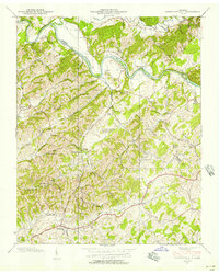
1939 Map of Parrottsville
USGS Topo · Published 1957About this map
Nolichucky River meanders through the heart of this landscape, marking the winding border between Greene Co and Cocke Co. The area is defined by a dense network of small rural communities and family-named landmarks just before the mid-century. The village of Parrottsville serves as a southern anchor, while the surrounding hills are dotted with foundational institutions of East Tennessee life, including Harned Chapel, Luther Memorial Ch, and several district schools such as Easterly Sch and Baysinger Sch.
Find a feature on this map
58 named features on this map. Tap any name to fly to it.
Don’t see what you’re looking for? This feature index may not catch every label — zoom into the map to look around manually.
Map Details
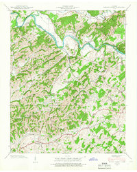
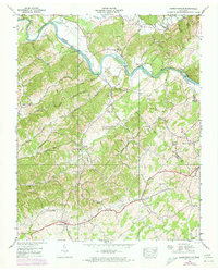
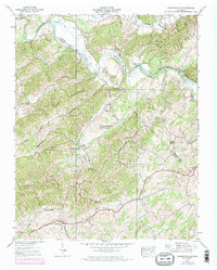
Editions of this 1939 Parrottsville Map
4 editions found
Other maps of this area

1883 · Morristown
USGS Topo · 1:125,000

1892 · Greeneville
USGS Topo · 1:125,000

1893 · Mt Guyot
USGS Topo · 1:125,000

1893 · Morristown
USGS Topo · 1:125,000

1894 · Asheville
USGS Topo · 1:125,000

1895 · Morristown
USGS Topo · 1:125,000

1896 · Greeneville
USGS Topo · 1:125,000

1901 · Asheville
USGS Topo · 1:125,000

1904 · Greeneville
USGS Topo · 1:125,000

1912 · Mt Guyot
USGS Topo · 1:125,000