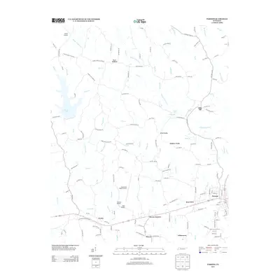
2013 Map of Parsons
USGS Topo · Published 2013About this map
The town of Parsons anchors the southeastern corner of this Decatur County landscape, where the local transportation network transitions from the street grids of the town center to a web of rural roads. Following the corridor to the west, small settlements and named hollows like Beacon, Beacon Junction, and Flowers Hollow sit along the primary route toward Darden. The northern reaches of the quadrangle are characterized by a network of creek branches, including Sulphur Fork Cub Cr and King Creek, which carve through the terrain near New Safford and Bible Hill.
Find a feature on this map
144 named features on this map. Tap any name to fly to it.
Don’t see what you’re looking for? This feature index may not catch every label — zoom into the map to look around manually.
Map Details
Editions of this 2013 Parsons Map
This is the sole edition of this map. No revisions or reprints were ever made.
Other maps of this area

1936 · Yuma
USGS Topo · 1:24,000

1936 · Scotts Hill
USGS Topo · 1:24,000

1936 · Parsons
USGS Topo · 1:24,000

1936 · Jeannette
USGS Topo · 1:24,000

1936 · Reagan
USGS Topo · 1:24,000

1936 · Sugar Tree
USGS Topo · 1:24,000

1936 · Cavvia
USGS Topo · 1:24,000

1936 · Perryville
USGS Topo · 1:24,000

1936 · Chesterfield
USGS Topo · 1:24,000

1949 · Perryville
USGS Topo · 1:24,000