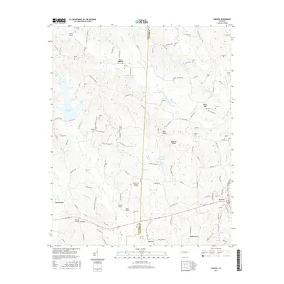
2016 Map of Parsons
USGS Topo · Published 2016About this map
Parsons serves as a primary hub on the eastern edge of the Tennessee River valley, where the landscape is defined by the crossing of major thoroughfares and the proximity of the Beech River Regional Airport. The terrain to the west is characterized by a series of hollows, including Buckner Hollow, Flowers Hollow, and Duke Hollow, which drain toward Big Cr and Reeves Br. These natural features have historically shaped the settlement patterns of rural communities like Darden and Chesterfield.
Find a feature on this map
141 named features on this map. Tap any name to fly to it.
Don’t see what you’re looking for? This feature index may not catch every label — zoom into the map to look around manually.
Map Details
Editions of this 2016 Parsons Map
This is the sole edition of this map. No revisions or reprints were ever made.
Other maps of this area

1936 · Yuma
USGS Topo · 1:24,000

1936 · Scotts Hill
USGS Topo · 1:24,000

1936 · Parsons
USGS Topo · 1:24,000

1936 · Jeannette
USGS Topo · 1:24,000

1936 · Reagan
USGS Topo · 1:24,000

1936 · Sugar Tree
USGS Topo · 1:24,000

1936 · Cavvia
USGS Topo · 1:24,000

1936 · Perryville
USGS Topo · 1:24,000

1936 · Chesterfield
USGS Topo · 1:24,000

1949 · Perryville
USGS Topo · 1:24,000