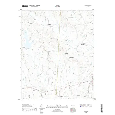
2019 Map of Parsons
USGS Topo · Published 2019About this map
Parsons and the surrounding rural communities of Decatur and Henderson counties are defined by a network of creeks and family-named hollows. The settlement at Darden sits along the southern edge of the map, while New Safford and Bible Hill anchor the central and eastern reaches. The terrain is notably dissected by watercourses like Sulphur Fork Cub Cr and Shell Fork, creating a series of ridges that host numerous family cemeteries, including Mount Ararat Cem, Hendrix Cem, and Duke Cem.
Find a feature on this map
155 named features on this map. Tap any name to fly to it.
Don’t see what you’re looking for? This feature index may not catch every label — zoom into the map to look around manually.
Map Details
Editions of this 2019 Parsons Map
This is the sole edition of this map. No revisions or reprints were ever made.
Other maps of this area

1936 · Yuma
USGS Topo · 1:24,000

1936 · Scotts Hill
USGS Topo · 1:24,000

1936 · Parsons
USGS Topo · 1:24,000

1936 · Jeannette
USGS Topo · 1:24,000

1936 · Reagan
USGS Topo · 1:24,000

1936 · Sugar Tree
USGS Topo · 1:24,000

1936 · Cavvia
USGS Topo · 1:24,000

1936 · Perryville
USGS Topo · 1:24,000

1936 · Chesterfield
USGS Topo · 1:24,000

1949 · Perryville
USGS Topo · 1:24,000