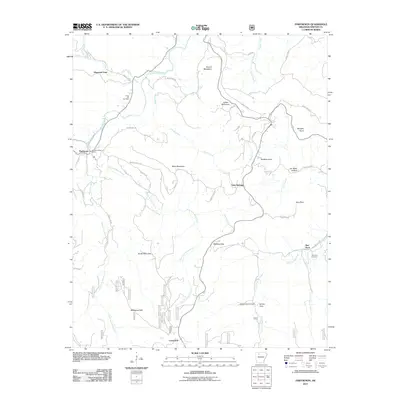
2011 Map of Parthenon
USGS Topo · Published 2011About this map
The Little Buffalo River winds through this Ozark terrain, anchoring a landscape defined by deep hollows and isolated mountain summits. In the northwest, the settlement of Parthenon serves as a local focal point with its Parthenon Post Office, while the community of Red Rock occupies the eastern reaches of the quadrangle. The map reveals a network of dispersed homesteads and rural communities like Gum Springs and Farmer Cove, often situated near the numerous creek forks such as East Fork Shop Creek and West Fork Shop Creek.
Find a feature on this map
51 named features on this map. Tap any name to fly to it.
Don’t see what you’re looking for? This feature index may not catch every label — zoom into the map to look around manually.
Map Details
Editions of this 2011 Parthenon Map
This is the sole edition of this map. No revisions or reprints were ever made.
Other maps of this area

1904 · Harrison
USGS Topo · 1:125,000

1905 · Harrison
USGS Topo · 1:125,000

1933 · Mt Judea
USGS Topo · 1:62,500

1940 · Mt Judea
USGS Topo · 1:62,500

1945 · Harrison
USGS Topo · 1:250,000

1949 · Harrison
USGS Topo · 1:250,000

1954 · Harrison
USGS Topo · 1:250,000

1956 · Russellville
USGS Topo · 1:250,000

1958 · Harrison
USGS Topo · 1:250,000

1964 · Russellville
USGS Topo · 1:250,000