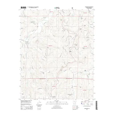
2014 Map of Parthenon
USGS Topo · Published 2014About this map
Parthenon sits along the winding course of the Little Buffalo River, serving as a central point in this corner of the Ozark Mountains. The landscape is defined by its deep drainages and high points, including Reynolds Mtn and Judea Mtn, with the subterranean passage of Diamond Cave located near Union Hill Cem. Much of the southern and central terrain is preserved within the Ozark National Forest, where the topography drops sharply through McElroy Gap toward the waters of Left Fork Big Cr.
Find a feature on this map
43 named features on this map. Tap any name to fly to it.
Don’t see what you’re looking for? This feature index may not catch every label — zoom into the map to look around manually.
Map Details
Editions of this 2014 Parthenon Map
This is the sole edition of this map. No revisions or reprints were ever made.
Other maps of this area

1904 · Harrison
USGS Topo · 1:125,000

1905 · Harrison
USGS Topo · 1:125,000

1933 · Mt Judea
USGS Topo · 1:62,500

1940 · Mt Judea
USGS Topo · 1:62,500

1945 · Harrison
USGS Topo · 1:250,000

1949 · Harrison
USGS Topo · 1:250,000

1954 · Harrison
USGS Topo · 1:250,000

1956 · Russellville
USGS Topo · 1:250,000

1958 · Harrison
USGS Topo · 1:250,000

1964 · Russellville
USGS Topo · 1:250,000