2020 Map of Parthenon
USGS Topo · Published 2020About this map
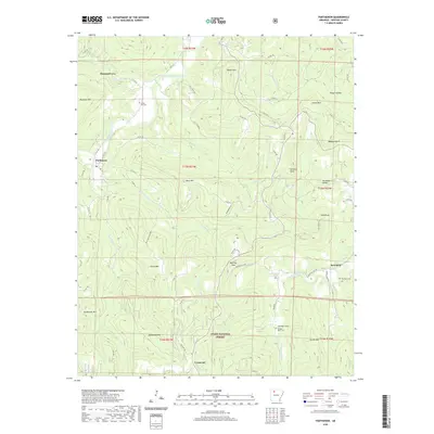
Parthenon and the surrounding high country of the Ozark National Forest are documented here in a landscape defined by deep hollows and narrow river valleys. The Little Buffalo River flows through the northern reaches, while the small settlements of Red Rock and Crossroad occupy the southern highlands. Local genealogy is anchored by sites such as Union Hill Cem, Coopers Bluff Cem, and Red Rock Cem, which represent the enduring footprints of rural mountain communities. Topographic features like Diamond Cave, Smith Mtn, and Round Mtn illustrate the limestone and sandstone geology typical of Newton County. The road network, including Hwy 327 and various timber routes like Vanderpool Rd, connects isolated points like Farmer Cove through the winding ridges and gaps.
Find a feature on this map
74 named features on this map. Tap any name to fly to it.
Don’t see what you’re looking for? This feature index may not catch every label — zoom into the map to look around manually.
Map Details
Editions of this 2020 Parthenon Map
This is the sole edition of this map. No revisions or reprints were ever made.
Other maps of this area

1904 · Harrison
USGS Topo · 1:125,000

1905 · Harrison
USGS Topo · 1:125,000

1933 · Mt Judea
USGS Topo · 1:62,500

1940 · Mt Judea
USGS Topo · 1:62,500

1945 · Harrison
USGS Topo · 1:250,000

1949 · Harrison
USGS Topo · 1:250,000

1954 · Harrison
USGS Topo · 1:250,000

1956 · Russellville
USGS Topo · 1:250,000

1958 · Harrison
USGS Topo · 1:250,000

1964 · Russellville
USGS Topo · 1:250,000