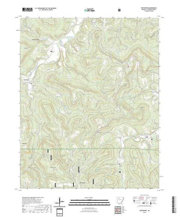
2024 Map of Parthenon
USGS Topo · Published 2024About this map
Parthenon and Wayton anchor this survey of the northern reaches of the Ozark National Forest, where steep ridges and deep hollows define the movement of water and people. The Little Buffalo River winds through the northern section, flanked by prominent elevations like Reynolds Mtn and the subterranean landmark Diamond Cave. This terrain dictates a settlement pattern of isolated communities and small cemeteries tucked into the high ground or protected coves, including Farmer Cove and Red Rock.
Find a feature on this map
72 named features on this map. Tap any name to fly to it.
Don’t see what you’re looking for? This feature index may not catch every label — zoom into the map to look around manually.
Map Details
Editions of this 2024 Parthenon Map
This is the sole edition of this map. No revisions or reprints were ever made.
Other maps of this area

1904 · Harrison
USGS Topo · 1:125,000

1905 · Harrison
USGS Topo · 1:125,000

1933 · Mt Judea
USGS Topo · 1:62,500

1940 · Mt Judea
USGS Topo · 1:62,500

1945 · Harrison
USGS Topo · 1:250,000

1949 · Harrison
USGS Topo · 1:250,000

1954 · Harrison
USGS Topo · 1:250,000

1956 · Russellville
USGS Topo · 1:250,000

1958 · Harrison
USGS Topo · 1:250,000

1964 · Russellville
USGS Topo · 1:250,000