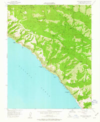
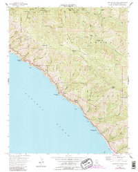
1956 Map of Partington Ridge
USGS Topo · Published 1963About this map
Los Padres National Forest forms the backdrop for this coastal study, where the steep canyons of the Santa Lucia Range drop directly into the Pacific Ocean. The map documents a landscape defined by seasonal camps and difficult foot travel, connected by the Pine Ridge Trail and Barlow Flat Trail rather than a dense road network. While California State Highway 1 hugs the cliffs, the interior remains primitive, dotted with remote locations such as Sykes Camp and Outlaw Camp. The inclusion of the Sea Otter Game Refuge along the shoreline and the presence of the Anderson Landing (Aban'd) and Seaview Sch (Aban'd) suggest a transition from early coastal industry and pioneer education to a region focused on conservation and backcountry recreation in the mid-20th century.
Find a feature on this map
46 named features on this map. Tap any name to fly to it.
Don’t see what you’re looking for? This feature index may not catch every label — zoom into the map to look around manually.
Map Details
Editions of this 1956 Partington Ridge Map
5 editions found
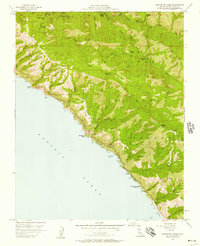
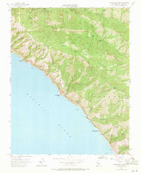
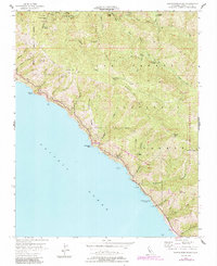
Other maps of this area

1918 · Point Sur
USGS Topo · 1:62,500

1920 · Jamesburg
USGS Topo · 1:48,000

1921 · Jamesburg
USGS Topo · 1:62,500

1921 · Lucia
USGS Topo · 1:62,500

1925 · Point Sur
USGS Topo · 1:62,500

1939 · Jamesburg
USGS Topo · 1:62,500

1940 · Jamesburg
USGS Topo · 1:62,500

1941 · Lucia
USGS Topo · 1:62,500

1947 · Lucia
USGS Topo · 1:62,500

1947 · Jamesburg
USGS Topo · 1:62,500