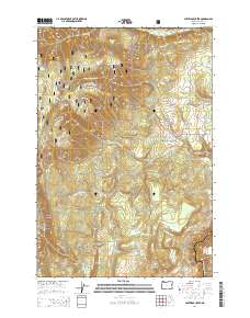
2014 Map of Partridge Creek
USGS Topo · Published 2014About this map
Umatilla National Forest defines this high-elevation landscape in the Blue Mountains, where a dense network of forest development roads provides access to isolated springs and drainage basins. The area is characterized by deep incisions like Moon Canyon and the winding course of the Grande Ronde River along the southeastern boundary. Numerous water sources including Lady Spring, Alpine Spring, and Darrs Spring dot the terrain, supporting the local ecosystem and historical land use.
Find a feature on this map
39 named features on this map. Tap any name to fly to it.
Don’t see what you’re looking for? This feature index may not catch every label — zoom into the map to look around manually.
Map Details
Editions of this 2014 Partridge Creek Map
This is the sole edition of this map. No revisions or reprints were ever made.
Other maps of this area

1953 · Pendleton
USGS Topo · 1:250,000

1955 · Grangeville
USGS Topo · 1:250,000

1956 · Pendleton
USGS Topo · 1:250,000

1959 · Grangeville
USGS Topo · 1:250,000

1963 · Andies Prairie
USGS Topo · 1:24,000

1963 · Sanderson Spring
USGS Topo · 1:24,000

1963 · Tollgate
USGS Topo · 1:24,000

1964 · Partridge Creek
USGS Topo · 1:24,000

1964 · Cricket Flat
USGS Topo · 1:24,000

1964 · Elgin
USGS Topo · 1:24,000