
1934 Map of Parts Of Old Fort and Montreat
USGS Topo · Published 1934About this map
Mt Mitchell and the surrounding high-altitude wilderness of the Black Mountains dominate this 1934 topographic survey, conducted during a period of significant transition for western North Carolina. The map captures early infrastructure development within Mt Mitchell State Park and along the nascent Blue Ridge Parkway. The terrain is characterized by a dense network of watercourses, including the headwaters of the South Toe River and the various branches of Upper Creek and Lower Creek.
Find a feature on this map
51 named features on this map. Tap any name to fly to it.
Don’t see what you’re looking for? This feature index may not catch every label — zoom into the map to look around manually.
Map Details
Editions of this 1934 Parts Of Old Fort and Montreat Map
This is the sole edition of this map. No revisions or reprints were ever made.
Other maps of this area

1900 · Mount Mitchell
USGS Topo · 1:125,000

1902 · Mount Mitchell
USGS Topo · 1:125,000

1934 · Parts Of Celo And Black Brothers
USGS Topo · 1:24,000

1935 · Montreat
USGS Topo · 1:24,000

1935 · Black Brothers
USGS Topo · 1:24,000

1935 · Black Mountain
USGS Topo · 1:24,000

1941 · Black Mountain
USGS Topo · 1:24,000
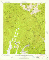
1942 · Montreat
USGS Topo · 1:24,000
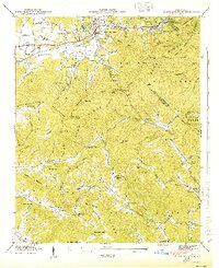
1943 · Black Mountain
USGS Topo · 1:24,000
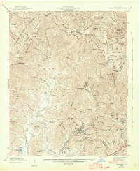
1943 · Montreat
USGS Topo · 1:24,000