2022 Map of Pasadena
USGS Topo · Published 2022About this map
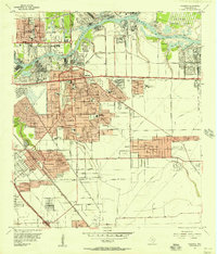
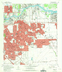
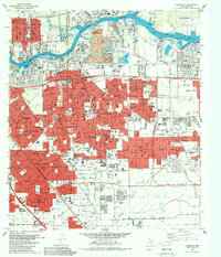
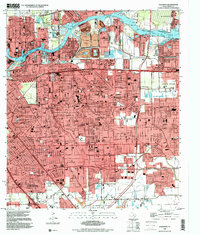
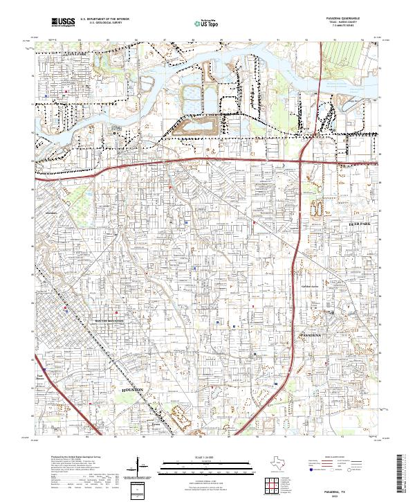
The Houston Ship Channel and Buffalo Bayou dominate this industrial landscape of Harris County, providing the essential waterways that fueled the rapid expansion of East Texas commerce. This survey details the complex network of residential neighborhoods and petrochemical corridors during the early 2020s, showcasing the proximity of heavy industry to long-established communities like Galena Park and Pasadena. The map reveals the intricate drainage patterns of the coastal plain, where Vince Bayou, Berry Bayou, and Cotton Patch Bayou thread through dense urban grids.
Find a feature on this map
30 named features on this map. Tap any name to fly to it.
Don’t see what you’re looking for? This feature index may not catch every label — zoom into the map to look around manually.
Map Details
Editions of this 2022 Pasadena Map
This is the sole edition of this map. No revisions or reprints were ever made.
Historical Maps of Allendale Through Time
5 maps found