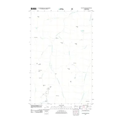
2011 Map of Pasayten Peak
USGS Topo · Published 2011About this map
Barron stands at the southern edge of this high-altitude landscape, where the headwaters of Barron Creek descend from the surrounding ridges. The area is defined by a series of significant mountain passes, including Holman Pass, Windy Pass, and Foggy Pass, which have long served as critical transit points through this portion of the North Cascades. The drainage system is anchored by the West Fork Pasayten River and the Middle Fork Pasayten River, which gather water from numerous alpine sources like Kid Creek and Silver Creek.
Find a feature on this map
36 named features on this map. Tap any name to fly to it.
Don’t see what you’re looking for? This feature index may not catch every label — zoom into the map to look around manually.
Map Details
Editions of this 2011 Pasayten Peak Map
This is the sole edition of this map. No revisions or reprints were ever made.
Other maps of this area

1920 · Slate Pass
USGS Topo · 1:125,000

1955 · Concrete
USGS Topo · 1:250,000

1958 · Concrete
USGS Topo · 1:250,000

1962 · Concrete
USGS Topo · 1:250,000

1963 · Azurite Peak
USGS Topo · 1:24,000

1963 · Slate Peak
USGS Topo · 1:24,000
1963 · Robinson Mtn.
USGS Topo · 1:24,000

1969 · Frosty Creek
USGS Topo · 1:24,000
1969 · Pasayten Peak
USGS Topo · 1:24,000

1969 · Tatoosh Buttes
USGS Topo · 1:24,000