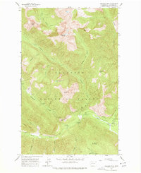
1963 Map of Robinson Mtn.
USGS Topo · Published 1965About this map
Okanogan National Forest covers this high-altitude landscape of the North Cascades, centered on the prominent massif of Robinson Mountain. The map illustrates a recreational and backcountry infrastructure existing in the early 1960s, featuring several established sites along the river corridors such as Ballard Campground and Rivers Bend Campground. The remote nature of the terrain is emphasized by the presence of the Lost River Landing Strip and primitive outposts like Porcupine Camp.
Find a feature on this map
36 named features on this map. Tap any name to fly to it.
Don’t see what you’re looking for? This feature index may not catch every label — zoom into the map to look around manually.
Map Details
Editions of this 1963 Robinson Mtn. Map
2 editions found
Other maps of this area

1920 · Slate Pass
USGS Topo · 1:125,000

1955 · Concrete
USGS Topo · 1:250,000

1958 · Concrete
USGS Topo · 1:250,000

1962 · Concrete
USGS Topo · 1:250,000

1962 · Mazama
USGS Topo · 1:62,500

1963 · Washington Pass
USGS Topo · 1:24,000

1963 · Slate Peak
USGS Topo · 1:24,000

1963 · Silver Star Mtn.
USGS Topo · 1:24,000

1969 · Lost Peak
USGS Topo · 1:24,000
1969 · Pasayten Peak
USGS Topo · 1:24,000