
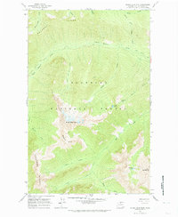
1963 Map of Silver Star Mtn.
USGS Topo · Published 1964About this map
The high peaks of the North Cascades define this 1960s survey, dominated by the massive presence of Silver Star Mtn and the surrounding wilderness of the Okanogan National Forest. The landscape is characterized by a series of prominent divides, including Vasiliki Ridge, Snagtooth Ridge, and the long sweep of Delancy Ridge to the north. These sharp crests separate deeply carved glacial valleys where Early Winters Creek and Cedar Creek gather runoff from numerous high-altitude basins.
Find a feature on this map
25 named features on this map. Tap any name to fly to it.
Don’t see what you’re looking for? This feature index may not catch every label — zoom into the map to look around manually.
Map Details
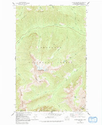
Editions of this 1963 Silver Star Mtn. Map
4 editions found

Other maps of this area

1899 · Methow
USGS Topo · 1:125,000

1901 · Methow
USGS Topo · 1:125,000

1902 · Stehekin
USGS Topo · 1:125,000

1904 · Stehekin
USGS Topo · 1:125,000

1920 · Slate Pass
USGS Topo · 1:125,000

1955 · Concrete
USGS Topo · 1:250,000

1958 · Concrete
USGS Topo · 1:250,000

1962 · Concrete
USGS Topo · 1:250,000

1962 · Mazama
USGS Topo · 1:62,500

1963 · Washington Pass
USGS Topo · 1:24,000