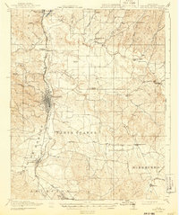
1919 Map of Paso Robles
USGS Topo · Published 1943About this map
San Miguel Mission stands at the northern edge of this landscape, marking the historic center of the upper Salinas River valley during the late 1910s. The region is defined by its agrarian and educational hubs, with numerous country schoolhouses like Phillips School, Geneseo School, and Eureka School serving scattered ranching communities. The Southern Pacific Railroad parallels the river, anchoring the growth of Paso Robles and Templeton as they transitioned into the modern era. To the east, the drainage of Huerhuero Creek and Dry Creek cuts through the land divisions of Santa Ysabel and Huerhuero, where smaller settlements like Shandon and Creston connect via the Bakersfield Road. The map captures a topography of rolling hills and canyons, where landmarks like Mustard Hill and Lake Ysabel provide orientation in a territory largely organized around river access and rail transit.
Find a feature on this map
51 named features on this map. Tap any name to fly to it.
Don’t see what you’re looking for? This feature index may not catch every label — zoom into the map to look around manually.
Map Details
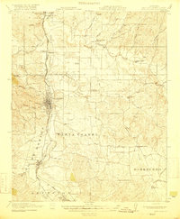
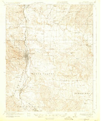
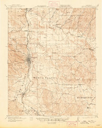
Editions of this 1919 Paso Robles Map
5 editions found
Other maps of this area

1897 · San Luis Obispo
USGS Topo · 1:62,500

1897 · Cayucos
USGS Topo · 1:62,500

1900 · San Luis
USGS Topo · 1:125,000

1914 · Cholame
USGS Topo · 1:125,000

1915 · Cholame
USGS Topo · 1:125,000

1917 · Cholame
USGS Topo · 1:125,000

1919 · San Miguel
USGS Topo · 1:62,500

1919 · Paso Robles
USGS Topo · 1:62,500

1919 · Bradley
USGS Topo · 1:62,500

1919 · Adelaida
USGS Topo · 1:62,500