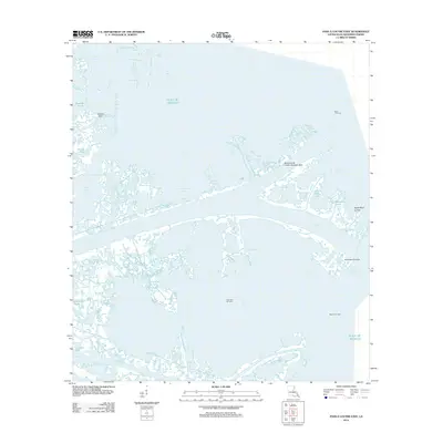
2012 Map of Pass a Loutre East
USGS Topo · Published 2012About this map
Pass a Loutre serves as the central artery for this complex deltaic environment where the Mississippi River meets the Gulf of Mexico. The map details a landscape dominated by shifting silt and industrial infrastructure, characterized by major outlets like Northeast Pass and Southeast Pass. Human activity is primarily centered on energy extraction and maritime transport, evidenced by the Main Pass 69 Pipeline Seaplane Base and several petroleum production zones including the Block 1 Oil Field and Blind Bay Oil Field. Smaller geographic features like Willow Point and the North Mud Lumps reflect the dynamic nature of the Plaquemines Parish coastline. Names like Customhouse Bay and Lighthouse Bayou suggest a history of navigation and federal oversight at this critical river mouth, while numerous smaller channels such as Tommy Dantz Bayou and Willies Bayou weave through the marshy fringes of the delta.
Find a feature on this map
28 named features on this map. Tap any name to fly to it.
Don’t see what you’re looking for? This feature index may not catch every label — zoom into the map to look around manually.
Map Details
Editions of this 2012 Pass a Loutre East Map
This is the sole edition of this map. No revisions or reprints were ever made.
Other maps of this area

1893 · East Delta
USGS Topo · 1:62,500

1935 · Garden Island Pass
USGS Topo · 1:31,680

1935 · South Pass
USGS Topo · 1:31,680

1947 · Garden Island Pass
USGS Topo · 1:31,680

1947 · Pass A Loutre West
USGS Topo · 1:31,680

1947 · Main Pass
USGS Topo · 1:31,680

1947 · Pass A Loutre East
USGS Topo · 1:31,680

1953 · Breton Island
USGS Topo · 1:62,500
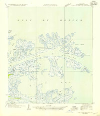
1954 · Pass A Loutre East
USGS Topo · 1:31,680
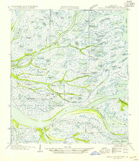
1954 · Pass A Loutre West
USGS Topo · 1:31,680