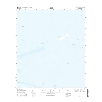
2015 Map of Pass a Loutre East
USGS Topo · Published 2015About this map
Pass a Loutre defines this coastal landscape where the Mississippi River distributaries meet the open waters of the Gulf of Mexico. In this 2015 perspective of Plaquemines Parish, the land-water interface is characterized by a complex network of channels including North Pass, Southeast Pass, and Northeast Pass. These waterways create a dynamic deltaic environment where small points of land like Willow Point and geological features such as the North Mud Lumps and Thomasin Lumps emerge from the surrounding bays.
Find a feature on this map
23 named features on this map. Tap any name to fly to it.
Don’t see what you’re looking for? This feature index may not catch every label — zoom into the map to look around manually.
Map Details
Editions of this 2015 Pass a Loutre East Map
This is the sole edition of this map. No revisions or reprints were ever made.
Other maps of this area

1893 · East Delta
USGS Topo · 1:62,500

1935 · Garden Island Pass
USGS Topo · 1:31,680

1935 · South Pass
USGS Topo · 1:31,680

1947 · Garden Island Pass
USGS Topo · 1:31,680

1947 · Pass A Loutre West
USGS Topo · 1:31,680

1947 · Main Pass
USGS Topo · 1:31,680

1947 · Pass A Loutre East
USGS Topo · 1:31,680

1953 · Breton Island
USGS Topo · 1:62,500
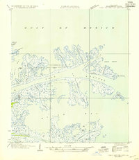
1954 · Pass A Loutre East
USGS Topo · 1:31,680
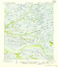
1954 · Pass A Loutre West
USGS Topo · 1:31,680