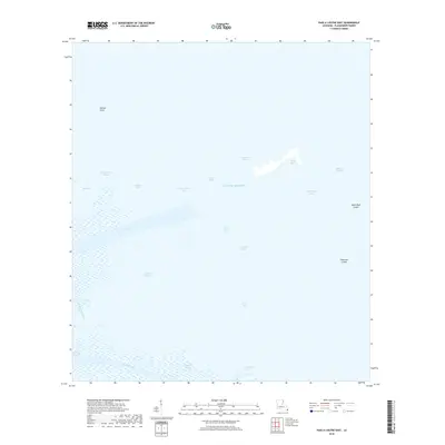
2018 Map of Pass a Loutre East
USGS Topo · Published 2018About this map
Pass a Loutre and the surrounding marshlands of the Mississippi River Delta are defined by a complex network of shifting channels and sediment deposits where the river meets the Gulf of Mexico. This coastal landscape is a dynamic environment of bays and bayous, including Tommy Dantz Bayou, Willies Bayou, and Pilot Bayou, which serve as critical conduits for water and sediment. The presence of features like North Mud Lumps and Thomasin Lumps highlights the unique geological processes of the birdfoot delta, where subsurface pressure forces up sedimentary mounds near the river mouths.
Find a feature on this map
23 named features on this map. Tap any name to fly to it.
Don’t see what you’re looking for? This feature index may not catch every label — zoom into the map to look around manually.
Map Details
Editions of this 2018 Pass a Loutre East Map
This is the sole edition of this map. No revisions or reprints were ever made.
Other maps of this area

1893 · East Delta
USGS Topo · 1:62,500

1935 · Garden Island Pass
USGS Topo · 1:31,680

1935 · South Pass
USGS Topo · 1:31,680

1947 · Garden Island Pass
USGS Topo · 1:31,680

1947 · Pass A Loutre West
USGS Topo · 1:31,680

1947 · Main Pass
USGS Topo · 1:31,680

1947 · Pass A Loutre East
USGS Topo · 1:31,680

1953 · Breton Island
USGS Topo · 1:62,500
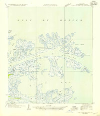
1954 · Pass A Loutre East
USGS Topo · 1:31,680
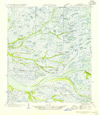
1954 · Pass A Loutre West
USGS Topo · 1:31,680