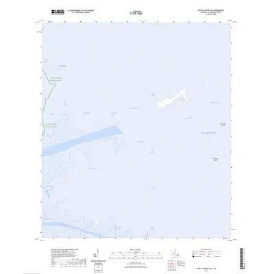
2024 Map of Pass a Loutre East
USGS Topo · Published 2024About this map
Delta National Wildlife Refuge dominates this coastal landscape at the southeastern tip of Plaquemines Parish, where the Mississippi River distributaries meet the Gulf of Mexico. The area is a complex network of active passes and tidal bays, featuring major outlets like Pass a Loutre, Southeast Pass, and Northeast Pass. These waterways are flanked by shifting marshlands and unique geological formations, including the North Mud Lumps and Thomasin Lumps, which are seafloor deposits pushed upward by the weight of river sediment. Many of the features, such as Customhouse Bay and Jackass Bay, carry names rooted in the region's long maritime history. The map captures the current state of these vital wetlands, showing the dynamic interaction between river silt and the open sea, including significant sediment shoals like Middle Ground.
Find a feature on this map
25 named features on this map. Tap any name to fly to it.
Don’t see what you’re looking for? This feature index may not catch every label — zoom into the map to look around manually.
Map Details
Editions of this 2024 Pass a Loutre East Map
This is the sole edition of this map. No revisions or reprints were ever made.
Other maps of this area

1893 · East Delta
USGS Topo · 1:62,500

1935 · Garden Island Pass
USGS Topo · 1:31,680

1935 · South Pass
USGS Topo · 1:31,680

1947 · Garden Island Pass
USGS Topo · 1:31,680

1947 · Pass A Loutre West
USGS Topo · 1:31,680

1947 · Main Pass
USGS Topo · 1:31,680

1947 · Pass A Loutre East
USGS Topo · 1:31,680

1953 · Breton Island
USGS Topo · 1:62,500
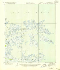
1954 · Pass A Loutre East
USGS Topo · 1:31,680
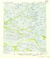
1954 · Pass A Loutre West
USGS Topo · 1:31,680