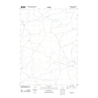
2012 Map of Pass Creek
USGS Topo · Published 2012About this map
The high plains of Albany County are defined by a network of seasonal drainages and scattered ranching operations in this 2012 survey. Centered on the eponymous Pass Cr, the landscape is organized around critical water sources such as Dead Horse Spring and Bellmore Spring. The transportation network is sparse, consisting largely of unpaved routes like Holiday Rd and Marshall Rd that connect the isolated homesteads typical of this region.
Find a feature on this map
18 named features on this map. Tap any name to fly to it.
Don’t see what you’re looking for? This feature index may not catch every label — zoom into the map to look around manually.
Map Details
Editions of this 2012 Pass Creek Map
This is the sole edition of this map. No revisions or reprints were ever made.
Other maps of this area

1954 · Torrington
USGS Topo · 1:250,000

1955 · Casper
USGS Topo · 1:250,000

1958 · Casper
USGS Topo · 1:250,000

1958 · Torrington
USGS Topo · 1:250,000

1959 · Squaw Spring
USGS Topo · 1:24,000

1959 · Chalk Hills
USGS Topo · 1:24,000
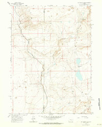
1961 · Big Charlie Lakes
USGS Topo · 1:24,000

1962 · Casper
USGS Topo · 1:250,000
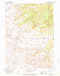
1964 · Rock Creek
USGS Topo · 1:24,000
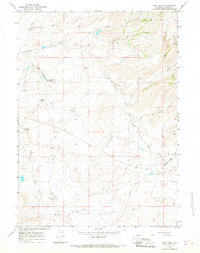
1964 · Pass Creek
USGS Topo · 1:24,000