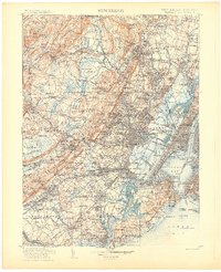
1905 Map of Passaic
USGS Topo · Published 1905About this map
Hibernia and Meriden anchor the mountainous northwest corner of this survey, where the Stony Brook Mountains and Rockaway River define the industrial and residential topography of northern New Jersey. The map illustrates a dense network of early 20th-century transportation, including the D. L. & W. R. R. and the newly established Lincoln Highway. As the region expanded, the transition from the wetlands of the Great Swamp and Great Piece Meadows to the developed corridors of Morristown and Madison becomes evident. Along the eastern edge, the industrial waterfronts of the Arthur Kill and Raritan Bay appear alongside maritime landmarks like Robins Reef Light and the Lower Quarantine Ship. This landscape includes historic institutional sites such as the Connecticut Farms Church and the extensive grounds of Baltusrol.
Find a feature on this map
375 named features on this map. Tap any name to fly to it.
Don’t see what you’re looking for? This feature index may not catch every label — zoom into the map to look around manually.
Map Details
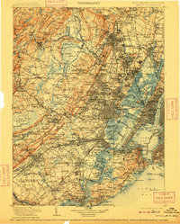
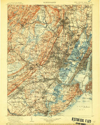
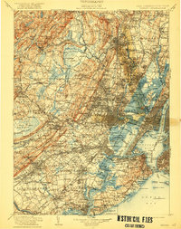
Editions of this 1905 Passaic Map
4 editions found
Other maps of this area

1888 · Franklin
USGS Topo · 1:62,500

1888 · Plainfield
USGS Topo · 1:62,500

1888 · Morristown
USGS Topo · 1:62,500

1888 · New Brunswick
USGS Topo · 1:62,500

1888 · Princeton
USGS Topo · 1:62,500

1888 · Lake Hopatcong
USGS Topo · 1:62,500

1888 · Paterson
USGS Topo · 1:62,500

1888 · Sandy Hook
USGS Topo · 1:62,500

1889 · Brooklyn
USGS Topo · 1:62,500

1891 · Somerville
USGS Topo · 1:62,500