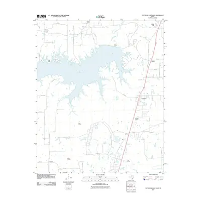
2011 Map of Pat Mayse Lake East
USGS Topo · Published 2011About this map
Pat Mayse Lake dominates this northern Lamar County landscape, its sprawling irregular shoreline shaped by the impoundment of Sanders Creek. The map documents a diverse mix of land uses, from the preserved acreage of Camp Maxey in the south to the small communities of Chicota, Powderly, and Arthur City that ring the water. Local history and genealogy interests are well-served by the presence of several established burial grounds, including Littlejohn Cemetery, Casey Cemetery, and McEwin Cemetery, which remain as markers of early rural settlement patterns.
Find a feature on this map
55 named features on this map. Tap any name to fly to it.
Don’t see what you’re looking for? This feature index may not catch every label — zoom into the map to look around manually.
Map Details
Editions of this 2011 Pat Mayse Lake East Map
This is the sole edition of this map. No revisions or reprints were ever made.
Other maps of this area

1903 · Paris
USGS Topo · 1:125,000

1948 · Grant
USGS Topo · 1:62,500

1948 · Paris
USGS Topo · 1:62,500

1949 · Grant
USGS Topo · 1:62,500

1949 · Paris
USGS Topo · 1:62,500

1951 · Slate Shoals
USGS Topo · 1:24,000

1951 · Shoals
USGS Topo · 1:24,000

1953 · Texarkana
USGS Topo · 1:250,000

1956 · Texarkana
USGS Topo · 1:250,000

1964 · Blossom
USGS Topo · 1:24,000