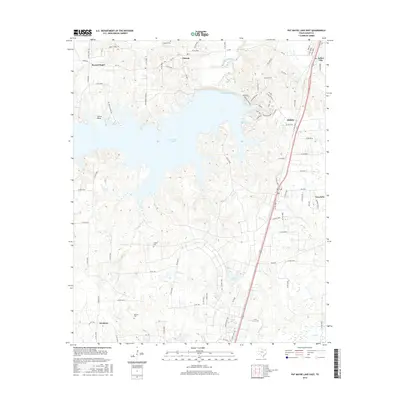
2016 Map of Pat Mayse Lake East
USGS Topo · Published 2016About this map
Pat Mayse Lake dominates the northern landscape of this Lamar County region, its irregular shoreline reaching into numerous coves and hollows like Sanders Cove and Buzzard Hollow. The surrounding countryside is dotted with small rural communities and dispersed settlements including Chicota, Forest Chapel, and Arthur City, connected by a network of farm-to-market roads and county lanes. For those looking into local lineage, the map identifies several burial sites such as Littlejohn Cem and McEwin Cem, which offer physical anchors for family history.
Find a feature on this map
89 named features on this map. Tap any name to fly to it.
Don’t see what you’re looking for? This feature index may not catch every label — zoom into the map to look around manually.
Map Details
Editions of this 2016 Pat Mayse Lake East Map
This is the sole edition of this map. No revisions or reprints were ever made.
Other maps of this area

1903 · Paris
USGS Topo · 1:125,000

1948 · Grant
USGS Topo · 1:62,500

1948 · Paris
USGS Topo · 1:62,500

1949 · Grant
USGS Topo · 1:62,500

1949 · Paris
USGS Topo · 1:62,500

1951 · Slate Shoals
USGS Topo · 1:24,000

1951 · Shoals
USGS Topo · 1:24,000

1953 · Texarkana
USGS Topo · 1:250,000

1956 · Texarkana
USGS Topo · 1:250,000

1964 · Blossom
USGS Topo · 1:24,000