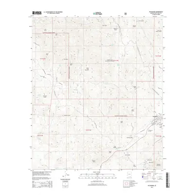
2014 Map of Patagonia
USGS Topo · Published 2014About this map
Patagonia sits as a central hub for the high-desert drainages of Santa Cruz County, where the Santa Rita Mountains meet the Patagonia Mountains. The town's grid is clearly defined by local thoroughfares like W McKeown Ave and W Nauglie Ave, reflecting its position along the Az-82 corridor. This area has long been a crossroads for mining and ranching interests, evidenced by the numerous canyon names and water sources such as Mata Siete Spring and Dripping Spring that dot the surrounding Coronado National Forest.
Find a feature on this map
69 named features on this map. Tap any name to fly to it.
Don’t see what you’re looking for? This feature index may not catch every label — zoom into the map to look around manually.
Map Details
Editions of this 2014 Patagonia Map
This is the sole edition of this map. No revisions or reprints were ever made.
Other maps of this area

1904 · Patagonia
USGS Topo · 1:125,000

1905 · Patagonia
USGS Topo · 1:125,000

1905 · Nogales
USGS Topo · 1:125,000

1922 · Agus Caliente
USGS Topo · 1:62,500

1932 · Lochiel
USGS Topo · 1:62,500

1932 · Elgin
USGS Topo · 1:62,500

1933 · Calabasas
USGS Topo · 1:62,500

1940 · Elgin
USGS Topo · 1:62,500

1947 · Elgin
USGS Topo · 1:62,500

1948 · Sonoita
USGS Topo · 1:24,000