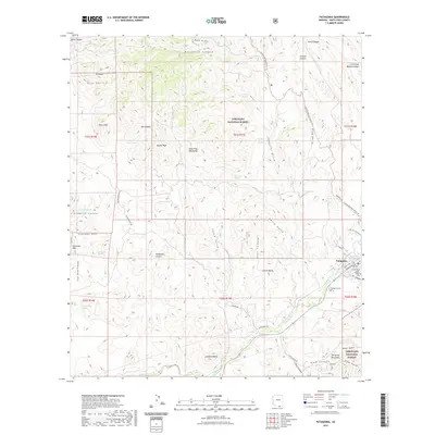
2021 Map of Patagonia
USGS Topo · Published 2021About this map
The town of Patagonia serves as the focal point of this study, positioned near the confluence of Sonoita Creek and CCC Canyon. The landscape is defined by the intersection of mountain peaks and deep drainages, including the Grosvenor Hills to the west and the Patagonia Mountains to the southeast. Local history is preserved in sites like Patagonia Cem and Jones Cem, while the rugged geography is marked by landmarks such as Salero Mtn and Castle Butte. Transport and recreation routes weave through the Coronado National Forest, notably the Arizona National Scenic Trail which traverses the eastern half of the map through Gringo Gulch and Temporal Gulch. The arrangement of canyons like School Canyon and Ash Canyon suggests a settlement pattern deeply influenced by the seasonal water flow and the topographic constraints of the Santa Cruz County highlands.
Find a feature on this map
59 named features on this map. Tap any name to fly to it.
Don’t see what you’re looking for? This feature index may not catch every label — zoom into the map to look around manually.
Map Details
Editions of this 2021 Patagonia Map
This is the sole edition of this map. No revisions or reprints were ever made.
Other maps of this area

1904 · Patagonia
USGS Topo · 1:125,000

1905 · Patagonia
USGS Topo · 1:125,000

1905 · Nogales
USGS Topo · 1:125,000

1922 · Agus Caliente
USGS Topo · 1:62,500

1932 · Lochiel
USGS Topo · 1:62,500

1932 · Elgin
USGS Topo · 1:62,500

1933 · Calabasas
USGS Topo · 1:62,500

1940 · Elgin
USGS Topo · 1:62,500

1947 · Elgin
USGS Topo · 1:62,500

1948 · Sonoita
USGS Topo · 1:24,000