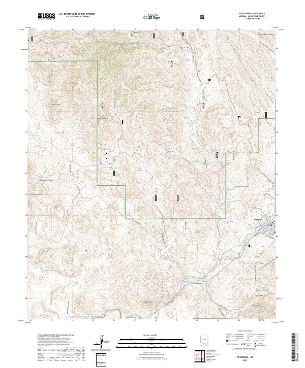
2023 Map of Patagonia
USGS Topo · Published 2023About this map
Patagonia serves as the hub of this Arizona landscape, situated where the Santa Rita Mountains meet the Patagonia Mountains. The town layout is defined by a cluster of named thoroughfares like Sonoita Ave and Naugle Ave, reflecting a community historically tied to the surrounding canyon and gulch systems. Significant local history sites are visible, including the Patagonia Cem and the Gatlin Jones Cemetery near the southern edge of the settlement.
Find a feature on this map
65 named features on this map. Tap any name to fly to it.
Don’t see what you’re looking for? This feature index may not catch every label — zoom into the map to look around manually.
Map Details
Editions of this 2023 Patagonia Map
This is the sole edition of this map. No revisions or reprints were ever made.
Other maps of this area

1904 · Patagonia
USGS Topo · 1:125,000

1905 · Patagonia
USGS Topo · 1:125,000

1905 · Nogales
USGS Topo · 1:125,000

1922 · Agus Caliente
USGS Topo · 1:62,500

1932 · Lochiel
USGS Topo · 1:62,500

1932 · Elgin
USGS Topo · 1:62,500

1933 · Calabasas
USGS Topo · 1:62,500

1940 · Elgin
USGS Topo · 1:62,500

1947 · Elgin
USGS Topo · 1:62,500

1948 · Sonoita
USGS Topo · 1:24,000