
1908 Map of Patapsco
USGS Topo · Published 1908About this map
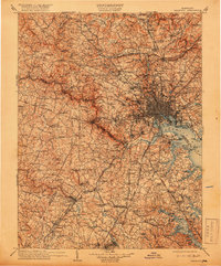
The city of Baltimore serves as the industrial and transit hub of this early twentieth-century landscape, where the Patapsco River meets the Northwest Harbor. Defenses like Fort McHenry and Fort Carroll guard the coastal approaches, while the hinterlands reveal a region of established educational and social institutions, including St Charles College, the McDonogh School, and Springfield Hospital. The map illustrates a complex network of turnpikes and railroads, such as the Baltimore & Ohio RR and the Maryland & Pennsylvania RR, which facilitated the flow of materials to industrial sites like Ashland Furnace.
Find a feature on this map
240 named features on this map. Tap any name to fly to it.
Don’t see what you’re looking for? This feature index may not catch every label — zoom into the map to look around manually.
Map Details
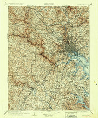
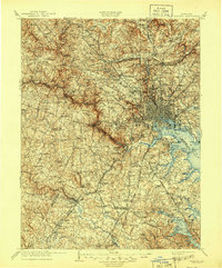
Editions of this 1908 Patapsco Map
4 editions found
Other maps of this area

1890 · Mt. Vernon
USGS Topo · 1:125,000

1891 · Mt. Vernon
USGS Topo · 1:125,000

1892 · Laurel
USGS Topo · 1:62,500

1892 · Ellicott
USGS Topo · 1:62,500

1892 · Owensville
USGS Topo · 1:62,500

1892 · Annapolis
USGS Topo · 1:62,500

1893 · North Point
USGS Topo · 1:62,500

1893 · Gunpowder
USGS Topo · 1:62,500

1893 · Frederick
USGS Topo · 1:125,000

1894 · Ellicott
USGS Topo · 1:62,500