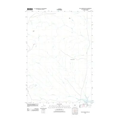
2012 Map of Patch Skin Buttes
USGS Topo · Published 2012About this map
Patch Skin Buttes and other prominent landforms rise above the grasslands of Dewey County in this 2012 survey. The landscape is defined by the winding drainages of Buffalo Cr and Swift Bird Cr, which flow generally eastward toward the reservoir. In the southeast corner, the map shows the shoreline of Lake Oahe, a massive impoundment of the Missouri River. While the area remains largely open range, the presence of BIA Hwy 8 and CO Hwy 14F indicates the vital transportation corridors serving the Cheyenne River Reservation. Higher elevations are marked by Twin Buttes in the north and Coffee Butte in the west, providing significant landmarks in an otherwise vast expanse of tributary forks like E Fork No Mouth Cr.
Find a feature on this map
9 named features on this map. Tap any name to fly to it.
Don’t see what you’re looking for? This feature index may not catch every label — zoom into the map to look around manually.
Map Details
Editions of this 2012 Patch Skin Buttes Map
This is the sole edition of this map. No revisions or reprints were ever made.
Other maps of this area

1951 · Virginia
USGS Topo · 1:24,000

1951 · Promise
USGS Topo · 1:24,000

1953 · McIntosh
USGS Topo · 1:250,000

1958 · McIntosh
USGS Topo · 1:250,000

1968 · Moreau
USGS Topo · 1:24,000

1968 · Moreau SE
USGS Topo · 1:24,000

1969 · Patch Skin Buttes SW
USGS Topo · 1:24,000

1969 · Four Bear Creek
USGS Topo · 1:24,000

1969 · Patch Skin Buttes SE
USGS Topo · 1:24,000

1970 · Patch Skin Buttes
USGS Topo · 1:24,000