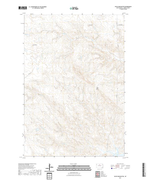
2021 Map of Patch Skin Buttes
USGS Topo · Published 2021About this map
Patch Skin Buttes and other prominent landforms define this high-plains landscape in Dewey County, where the terrain breaks toward the Missouri River valley. The northern reaches of Lake Oahe appear at the southeastern edge of the map, marking the significant hydrological shift in this region following the mid-century damming of the river. The drainage patterns of Buffalo Cr and Swift Bird Cr carve intricate coulees across the landscape, demonstrating the natural erosion of the prairie plateaus. Settlement in this area is sparse and tied to the road network of the Cheyenne River Reservation, with Bia Hwy 8 and Bia Hwy 7 providing the primary transit corridors. Isolated landmarks like Coffee Butte and Twin Buttes serve as traditional navigational points across the open range, which remains largely shaped by township and range section lines.
Find a feature on this map
14 named features on this map. Tap any name to fly to it.
Don’t see what you’re looking for? This feature index may not catch every label — zoom into the map to look around manually.
Map Details
Editions of this 2021 Patch Skin Buttes Map
This is the sole edition of this map. No revisions or reprints were ever made.
Other maps of this area

1951 · Virginia
USGS Topo · 1:24,000

1951 · Promise
USGS Topo · 1:24,000

1953 · McIntosh
USGS Topo · 1:250,000

1958 · McIntosh
USGS Topo · 1:250,000

1968 · Moreau
USGS Topo · 1:24,000

1968 · Moreau SE
USGS Topo · 1:24,000

1969 · Patch Skin Buttes SW
USGS Topo · 1:24,000

1969 · Four Bear Creek
USGS Topo · 1:24,000

1969 · Patch Skin Buttes SE
USGS Topo · 1:24,000

1970 · Patch Skin Buttes
USGS Topo · 1:24,000