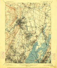
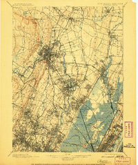
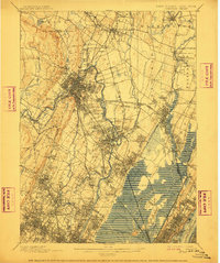
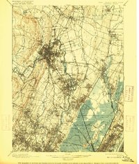
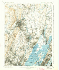
1903 Map of Paterson
USGS Topo · Published 1909About this map
Industrial expansion and complex hydrological engineering define this region at the start of the 20th century. The Passaic River and Hackensack River anchor a landscape where natural topography meets intensive development, most notably at the Morris Canal and the Dundee Dam. The survey reveals a dense network of competing rail lines, such as the New York Susquehanna and Western Railroad, which carved through established settlements like North Paterson and Rochelle Park.
Find a feature on this map
134 named features on this map. Tap any name to fly to it.
Don’t see what you’re looking for? This feature index may not catch every label — zoom into the map to look around manually.
Map Details
Editions of this 1903 Paterson Map
8 editions found
Other maps of this area

1888 · Plainfield
USGS Topo · 1:62,500

1888 · Morristown
USGS Topo · 1:62,500

1888 · Paterson
USGS Topo · 1:62,500

1889 · Brooklyn
USGS Topo · 1:62,500

1891 · Greenwood Lake
USGS Topo · 1:62,500

1891 · Ramapo
USGS Topo · 1:62,500

1891 · Brooklyn
USGS Topo · 1:62,500

1891 · Harlem
USGS Topo · 1:62,500

1892 · Paterson
USGS Topo · 1:62,500

1892 · Tarrytown
USGS Topo · 1:62,500