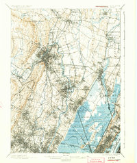
1903 Map of Paterson
USGS Topo · Published 1924About this map
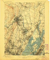
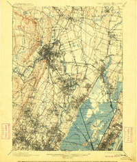
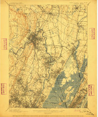
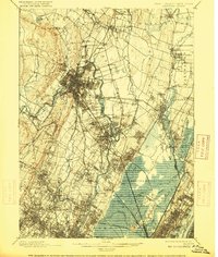
Industrial expansion and complex waterway management define the landscape between Passaic River and the Hackensack River in the late 19th century. The concentration of textile mills and manufacturing in Paterson and Passaic is supported by significant infrastructure like the Dundee Dam and the Morris Canal. Beyond the urban centers, the map details the vast wetlands of the Hackensack meadows and the sharp rise of the Palisades to the east. Extensive utility networks are visible through the Newark Waterworks and Jersey City Waterworks, indicating the growing demand for regional resources. The rail network is particularly dense here, featuring the New York Susquehanna and Western RR and the Delaware Lackawanna and Western RR, which connected these industrial hubs to the surrounding residential settlements like Ridgewood and Englewood.
Find a feature on this map
125 named features on this map. Tap any name to fly to it.
Don’t see what you’re looking for? This feature index may not catch every label — zoom into the map to look around manually.
Map Details
Editions of this 1903 Paterson Map
8 editions found
Other maps of this area

1888 · Plainfield
USGS Topo · 1:62,500

1888 · Morristown
USGS Topo · 1:62,500

1888 · Paterson
USGS Topo · 1:62,500

1889 · Brooklyn
USGS Topo · 1:62,500

1891 · Greenwood Lake
USGS Topo · 1:62,500

1891 · Ramapo
USGS Topo · 1:62,500

1891 · Brooklyn
USGS Topo · 1:62,500

1891 · Harlem
USGS Topo · 1:62,500

1892 · Paterson
USGS Topo · 1:62,500

1892 · Tarrytown
USGS Topo · 1:62,500