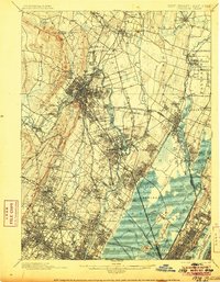
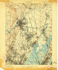
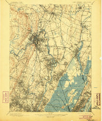
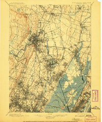
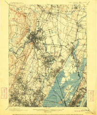
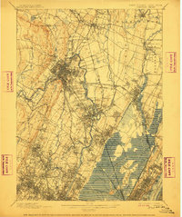
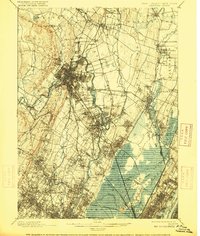
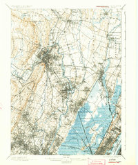
1903 Map of Paterson
USGS Topo · Published 1906About this map
The Passaic River anchors this industrial and suburban landscape at the turn of the century, carving through the trap rock of the First Watchung Mountain and Garret Rock. The industrial infrastructure of the era is evident in the path of the Morris Canal and the Dundee Dam, which powered the mills of the region. Transportation networks are densely packed, featuring the New York Susquehanna and Western Railroad and several branches of the Erie system, illustrating how rail transformed the meadows and ridges into a series of growing commuter towns.
Find a feature on this map
134 named features on this map. Tap any name to fly to it.
Don’t see what you’re looking for? This feature index may not catch every label — zoom into the map to look around manually.
Map Details
Editions of this 1903 Paterson Map
8 editions found
Other maps of this area

1888 · Plainfield
USGS Topo · 1:62,500

1888 · Morristown
USGS Topo · 1:62,500

1888 · Paterson
USGS Topo · 1:62,500

1889 · Brooklyn
USGS Topo · 1:62,500

1891 · Greenwood Lake
USGS Topo · 1:62,500

1891 · Ramapo
USGS Topo · 1:62,500

1891 · Brooklyn
USGS Topo · 1:62,500

1891 · Harlem
USGS Topo · 1:62,500

1892 · Paterson
USGS Topo · 1:62,500

1892 · Tarrytown
USGS Topo · 1:62,500