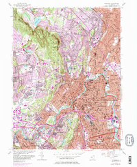
1955 Map of Paterson
USGS Topo · Published 1982About this map
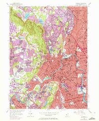
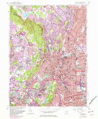
The Passaic River anchors this mid-century look at industrial and residential expansion in North Jersey, winding through the heart of Paterson and Fair Lawn. The landscape is defined by the contrast between the dense urban grid of the valley and the steep, wooded slopes of Preakness Mountain and the Watchung Mountains. This era shows a community in transition, with established institutions like the North Jersey Training School and the North Jersey Country Club nestled against rising suburban developments.
Find a feature on this map
95 named features on this map. Tap any name to fly to it.
Don’t see what you’re looking for? This feature index may not catch every label — zoom into the map to look around manually.
Map Details
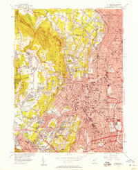
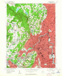
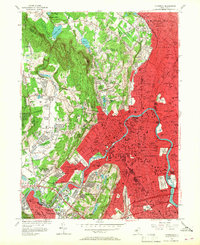
Editions of this 1955 Paterson Map
6 editions found
Other maps of this area

1888 · Morristown
USGS Topo · 1:62,500

1888 · Paterson
USGS Topo · 1:62,500

1891 · Greenwood Lake
USGS Topo · 1:62,500

1891 · Ramapo
USGS Topo · 1:62,500

1892 · Paterson
USGS Topo · 1:62,500

1893 · Greenwood Lake
USGS Topo · 1:62,500

1893 · Ramapo
USGS Topo · 1:62,500

1894 · Morristown
USGS Topo · 1:62,500

1898 · Morristown
USGS Topo · 1:62,500

1898 · Paterson
USGS Topo · 1:62,500