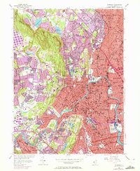
1955 Map of Paterson
USGS Topo · Published 1972About this map
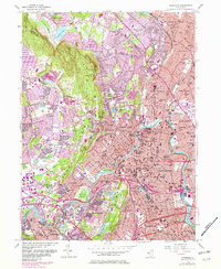
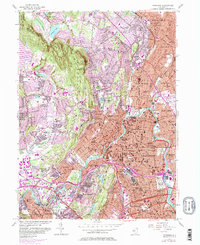
The Passaic River anchors this mid-century portrait of a rapidly densifying industrial and residential landscape, showing the city of Paterson at its heart. As postwar expansion reached into the surrounding hills, many of the region’s older institutions remained prominent landmarks, including the Valley View Sanatorium, the North Jersey Training School, and the Home for the Aged. The transport network is in a state of transition; the historic routes of the Erie Railroad and New York Susquehanna and Western RR are seen alongside the newly developing Garden State Parkway, which by 1970 was already reshaping the borders of Fair Lawn and Clifton.
Find a feature on this map
110 named features on this map. Tap any name to fly to it.
Don’t see what you’re looking for? This feature index may not catch every label — zoom into the map to look around manually.
Map Details
Editions of this 1955 Paterson Map
6 editions found
Other maps of this area

1888 · Morristown
USGS Topo · 1:62,500

1888 · Paterson
USGS Topo · 1:62,500

1891 · Greenwood Lake
USGS Topo · 1:62,500

1891 · Ramapo
USGS Topo · 1:62,500

1892 · Paterson
USGS Topo · 1:62,500

1893 · Greenwood Lake
USGS Topo · 1:62,500

1893 · Ramapo
USGS Topo · 1:62,500

1894 · Morristown
USGS Topo · 1:62,500

1898 · Morristown
USGS Topo · 1:62,500

1898 · Paterson
USGS Topo · 1:62,500