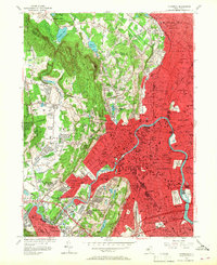
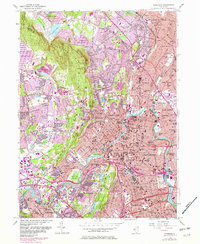
1955 Map of Paterson
USGS Topo · Published 1967About this map
The Passaic River anchors this mid-century portrait of industrial and suburban New Jersey, winding through the urban core of Paterson and Clifton. The landscape is sharply defined by the ridges of First Watchung Mountain and Second Watchung Mountain, which separate the dense neighborhoods of Haledon and Prospect Park from the expanding suburban developments of Wayne and Franklin Lakes. A robust transportation network of the Erie RR and the Lackawanna RR serves the various manufacturing centers and residential boroughs.
Find a feature on this map
112 named features on this map. Tap any name to fly to it.
Don’t see what you’re looking for? This feature index may not catch every label — zoom into the map to look around manually.
Map Details
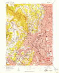
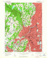
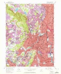
Editions of this 1955 Paterson Map
6 editions found
Other maps of this area

1888 · Morristown
USGS Topo · 1:62,500

1888 · Paterson
USGS Topo · 1:62,500

1891 · Greenwood Lake
USGS Topo · 1:62,500

1891 · Ramapo
USGS Topo · 1:62,500

1892 · Paterson
USGS Topo · 1:62,500

1893 · Greenwood Lake
USGS Topo · 1:62,500

1893 · Ramapo
USGS Topo · 1:62,500

1894 · Morristown
USGS Topo · 1:62,500

1898 · Morristown
USGS Topo · 1:62,500

1898 · Paterson
USGS Topo · 1:62,500