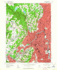
1955 Map of Paterson
USGS Topo · Published 1963About this map
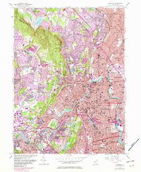
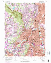
Paterson and its surrounding boroughs are shown at a peak of post-war suburbanization, where dense urban grids meet the rising slopes of the Watchung Mountains. The industrial heritage of the Passaic River is evident in the complex network of streets and rail lines including the Erie RR and the Lackawanna RR. The map illustrates a landscape of established neighborhoods, showing numerous public schools such as PS 22 and PS 10, alongside parochial institutions like St Josephs Sch.
Find a feature on this map
200 named features on this map. Tap any name to fly to it.
Don’t see what you’re looking for? This feature index may not catch every label — zoom into the map to look around manually.
Map Details
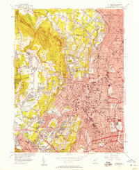
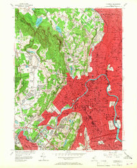
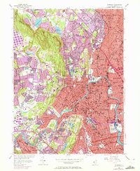
Editions of this 1955 Paterson Map
6 editions found
Other maps of this area

1888 · Morristown
USGS Topo · 1:62,500

1888 · Paterson
USGS Topo · 1:62,500

1891 · Greenwood Lake
USGS Topo · 1:62,500

1891 · Ramapo
USGS Topo · 1:62,500

1892 · Paterson
USGS Topo · 1:62,500

1893 · Greenwood Lake
USGS Topo · 1:62,500

1893 · Ramapo
USGS Topo · 1:62,500

1894 · Morristown
USGS Topo · 1:62,500

1898 · Morristown
USGS Topo · 1:62,500

1898 · Paterson
USGS Topo · 1:62,500