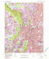
1955 Map of Paterson
USGS Topo · Published 1982About this map
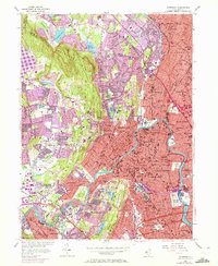
Paterson stands at the heart of this urbanized corridor where the Passaic River bends sharply through a landscape of heavy industry and dense residential neighborhoods. The river, widening into Dundee Lake, anchors a series of municipal landmarks including City Hall and the Armory. To the west, the terrain rises significantly toward Preakness Mountain and High Mtn, providing a stark topographical contrast to the river valley. This elevation change is utilized for critical infrastructure like the Point View Reservoir and Haledon Reservoir.
Find a feature on this map
96 named features on this map. Tap any name to fly to it.
Don’t see what you’re looking for? This feature index may not catch every label — zoom into the map to look around manually.
Map Details
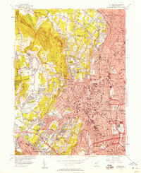
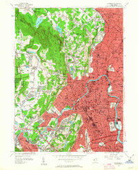
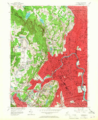
Editions of this 1955 Paterson Map
6 editions found
Other maps of this area

1888 · Morristown
USGS Topo · 1:62,500

1888 · Paterson
USGS Topo · 1:62,500

1891 · Greenwood Lake
USGS Topo · 1:62,500

1891 · Ramapo
USGS Topo · 1:62,500

1892 · Paterson
USGS Topo · 1:62,500

1893 · Greenwood Lake
USGS Topo · 1:62,500

1893 · Ramapo
USGS Topo · 1:62,500

1894 · Morristown
USGS Topo · 1:62,500

1898 · Morristown
USGS Topo · 1:62,500

1898 · Paterson
USGS Topo · 1:62,500