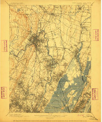
1903 Map of Paterson
USGS Topo · Published 1911About this map
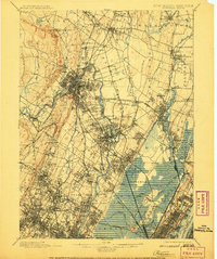
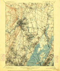
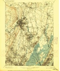
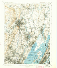
The industrial and hydraulic landscape of northern New Jersey is captured here at the dawn of the twentieth century. The Passaic River and the engineered Morris Canal dominate the central geography, tracing a path through the burgeoning centers of Paterson and Passaic. These waterways provided the energy and transport that fueled the region's rapid expansion during this era. Further east, the Hackensack River winds through tidal meadows, bordered by the rising heights of the Palisades.
Find a feature on this map
137 named features on this map. Tap any name to fly to it.
Don’t see what you’re looking for? This feature index may not catch every label — zoom into the map to look around manually.
Map Details
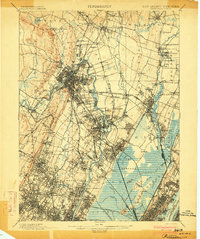
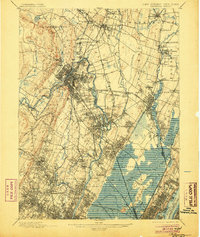
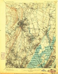
Editions of this 1903 Paterson Map
8 editions found
Other maps of this area

1888 · Plainfield
USGS Topo · 1:62,500

1888 · Morristown
USGS Topo · 1:62,500

1888 · Paterson
USGS Topo · 1:62,500

1889 · Brooklyn
USGS Topo · 1:62,500

1891 · Greenwood Lake
USGS Topo · 1:62,500

1891 · Ramapo
USGS Topo · 1:62,500

1891 · Brooklyn
USGS Topo · 1:62,500

1891 · Harlem
USGS Topo · 1:62,500

1892 · Paterson
USGS Topo · 1:62,500

1892 · Tarrytown
USGS Topo · 1:62,500