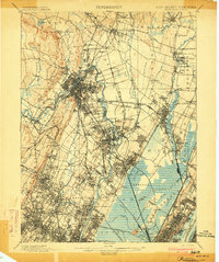
1903 Map of Paterson
USGS Topo · Published 1903About this map
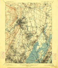
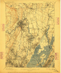
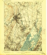
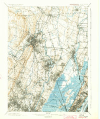
The Passaic River and the industrious waters of the Morris Canal dominate this landscape at the opening of the twentieth century. This survey documents the intense intersection of rail and water infrastructure that defined Northern New Jersey before the full suburban sprawl of the later 1900s. It traces a dense network of transit lines including the New York Lake Erie and Western Railroad and the New York Susquehanna and Western Railroad, which connected manufacturing hubs to the growing metropolis. Notable water management features, such as the Dundee Dam and the Jersey City Waterworks Aqueduct, reveal how the region’s hydrology was being harnessed for both power and public utilities. Cultural landmarks like Laurel Grove Cemetery and long-vanished community names like Etna and Peetzburg provide critical reference points for genealogists and local historians studying the early development of Bergen and Passaic counties.
Find a feature on this map
123 named features on this map. Tap any name to fly to it.
Don’t see what you’re looking for? This feature index may not catch every label — zoom into the map to look around manually.
Map Details
Editions of this 1903 Paterson Map
8 editions found
Other maps of this area

1888 · Plainfield
USGS Topo · 1:62,500

1888 · Morristown
USGS Topo · 1:62,500

1888 · Paterson
USGS Topo · 1:62,500

1889 · Brooklyn
USGS Topo · 1:62,500

1891 · Greenwood Lake
USGS Topo · 1:62,500

1891 · Ramapo
USGS Topo · 1:62,500

1891 · Brooklyn
USGS Topo · 1:62,500

1891 · Harlem
USGS Topo · 1:62,500

1892 · Paterson
USGS Topo · 1:62,500

1892 · Tarrytown
USGS Topo · 1:62,500