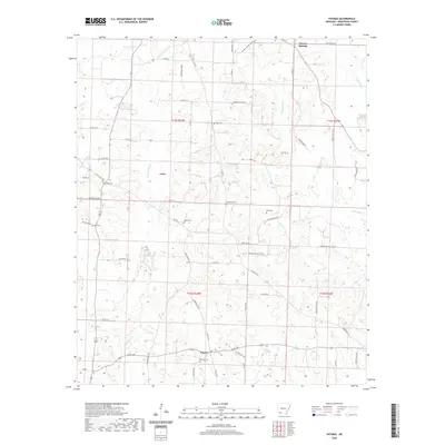
2020 Map of Patmos
USGS Topo · Published 2020About this map
Patmos and the surrounding rural landscapes of Hempstead County appear here as a patchwork of timberland and small family settlements. This 2020 edition reveals the persistent rural character of southwest Arkansas, where the landscape is defined by its drainages and a dense network of local roads such as Hempstead 120 Rd and State Hwy 355. The map is particularly rich for genealogical research, documenting numerous small burial grounds that dot the countryside, including Patmos Cem, Macedonia Cem, and Huckabee Cem. These sites, along with smaller family plots like Giles Cem and Wise Cem, provide physical anchors for the history of local families near Shover Springs and the community of Coler. The terrain is shaped by the winding paths of Little Bodcau Cr and White Oak Cr, which weave through the lowlands between the scattered farmsteads and wooded tracts.
Find a feature on this map
63 named features on this map. Tap any name to fly to it.
Don’t see what you’re looking for? This feature index may not catch every label — zoom into the map to look around manually.
Map Details
Editions of this 2020 Patmos Map
This is the sole edition of this map. No revisions or reprints were ever made.
Other maps of this area

1901 · Gurdon
USGS Topo · 1:125,000

1951 · Patmos
USGS Topo · 1:24,000

1951 · Sheppard
USGS Topo · 1:24,000

1951 · Spring Hill
USGS Topo · 1:24,000

1951 · Hope
USGS Topo · 1:24,000

1952 · Old Town
USGS Topo · 1:24,000

1952 · Boyd Hill
USGS Topo · 1:24,000

1953 · El Dorado
USGS Topo · 1:250,000

1957 · El Dorado
USGS Topo · 1:250,000

1958 · El Dorado
USGS Topo · 1:250,000