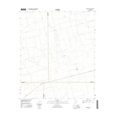
2016 Map of Patricia SW
USGS Topo · Published 2016About this map
The intersection of Gaines, Dawson, Andrews, and Martin counties forms the geographic anchor for this High Plains landscape. The terrain is characterized by subtle drainage patterns and seasonal water features, notably McKenzie Draw which cuts through the eastern portion of the quadrangle. Local ranching operations and water management are evidenced by labels like Wooden Tank and the presence of Brushy Lake in the central basin.
Find a feature on this map
17 named features on this map. Tap any name to fly to it.
Don’t see what you’re looking for? This feature index may not catch every label — zoom into the map to look around manually.
Map Details
Editions of this 2016 Patricia SW Map
This is the sole edition of this map. No revisions or reprints were ever made.
Other maps of this area

1954 · Hobbs
USGS Topo · 1:250,000

1958 · Hobbs
USGS Topo · 1:250,000

1966 · Wolcott Ranch
USGS Topo · 1:24,000

1966 · Scharbauer Ranch
USGS Topo · 1:24,000

1970 · Patricia SW
USGS Topo · 1:24,000

1970 · Patricia
USGS Topo · 1:24,000

1970 · McKenzie Lake SE
USGS Topo · 1:24,000

1970 · Sand
USGS Topo · 1:24,000

1970 · McKenzie Lake
USGS Topo · 1:24,000
1970 · Patricia NE
USGS Topo · 1:24,000