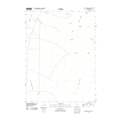
2011 Map of Patterson Pass
USGS Topo · Published 2011About this map
Tecoma Valley and the Pilot Creek Valley meet the rising slopes of the Pilot Range in this remote section of the Great Basin. The landscape is defined by the vital presence of isolated water sources, including Sheep Range Spring, Parson Springs, Cottonwood Springs, and Killian Springs, which have long served as essential landmarks in this arid environment. The map details the transition from the valley floor to the high-elevation terrain of Mineral Mountain and Copper Mountain. Historical routes through the mountains are marked by Patterson Pass and the winding course of Church Rd, providing a record of how this portion of the border between Utah and Nevada was navigated and utilized in the early twenty-first century. These features, along with names like Hogans Alley and McGinty Ridge, reflect the long-standing cattle ranching and mineral prospecting history that shaped the local geography.
Find a feature on this map
17 named features on this map. Tap any name to fly to it.
Don’t see what you’re looking for? This feature index may not catch every label — zoom into the map to look around manually.
Map Details
Editions of this 2011 Patterson Pass Map
This is the sole edition of this map. No revisions or reprints were ever made.
Other maps of this area

1954 · Brigham City
USGS Topo · 1:250,000

1955 · Wells
USGS Topo · 1:250,000

1958 · Wells
USGS Topo · 1:250,000

1958 · Brigham City
USGS Topo · 1:250,000

1961 · Wells
USGS Topo · 1:250,000

1962 · Brigham City
USGS Topo · 1:250,000

1967 · Pilot Peak
USGS Topo · 1:24,000

1967 · Lucin
USGS Topo · 1:24,000

1967 · Patterson Pass
USGS Topo · 1:24,000

1967 · Montello
USGS Topo · 1:24,000