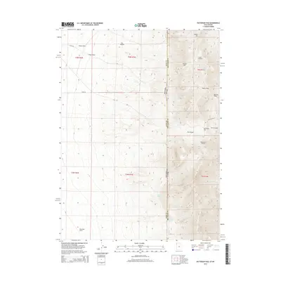
2014 Map of Patterson Pass
USGS Topo · Published 2014About this map
The Pilot Range defines the high-altitude divide between Elko County, Nevada, and Box Elder County, Utah, in this 2014 survey. High peaks such as Mineral Mtn and Copper Mtn dominate the northeastern landscape, while the southern reaches descend toward Patterson Gulch. The map identifies critical water sources in an otherwise arid environment, including Sheep Range Spring, Killian Springs, and Cottonwood Springs.
Find a feature on this map
25 named features on this map. Tap any name to fly to it.
Don’t see what you’re looking for? This feature index may not catch every label — zoom into the map to look around manually.
Map Details
Editions of this 2014 Patterson Pass Map
This is the sole edition of this map. No revisions or reprints were ever made.
Other maps of this area

1954 · Brigham City
USGS Topo · 1:250,000

1955 · Wells
USGS Topo · 1:250,000

1958 · Wells
USGS Topo · 1:250,000

1958 · Brigham City
USGS Topo · 1:250,000

1961 · Wells
USGS Topo · 1:250,000

1962 · Brigham City
USGS Topo · 1:250,000

1967 · Pilot Peak
USGS Topo · 1:24,000

1967 · Lucin
USGS Topo · 1:24,000

1967 · Patterson Pass
USGS Topo · 1:24,000

1967 · Montello
USGS Topo · 1:24,000