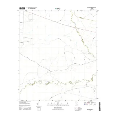
2014 Map of Patterson SE
USGS Topo · Published 2014About this map
The Satilla River and Little Satilla River define this corner of Southeast Georgia, where the boundaries of Pierce, Brantley, and Wayne counties converge. The landscape is characterized by a dense network of watercourses and naming conventions that reflect local families and topography, such as Indian Bluff and Sixty Foot Br. The road network provides evidence of early settlement patterns, with routes like Old River Rd, Laura Chapel Rd, and Raulerson Rd connecting remote homesteads and crossings.
Find a feature on this map
55 named features on this map. Tap any name to fly to it.
Don’t see what you’re looking for? This feature index may not catch every label — zoom into the map to look around manually.
Map Details
Editions of this 2014 Patterson SE Map
This is the sole edition of this map. No revisions or reprints were ever made.
Other maps of this area

1917 · Nahunta
USGS Topo · 1:62,500

1918 · Hortense
USGS Topo · 1:62,500

1918 · Nahunta
USGS Topo · 1:62,500

1944 · Hortense
USGS Topo · 1:62,500

1946 · Brunswick
USGS Topo · 1:250,000

1948 · Brunswick
USGS Topo · 1:250,000

1953 · Waycross
USGS Topo · 1:250,000

1956 · Brunswick
USGS Topo · 1:250,000

1958 · Waycross
USGS Topo · 1:250,000

1961 · Brunswick
USGS Topo · 1:250,000