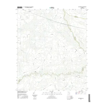
2017 Map of Patterson SE
USGS Topo · Published 2017About this map
The Satilla River snakes through a landscape defined by extensive wetlands and tributary networks in this Pierce and Brantley County region. The terrain is a complex of named drainages like Otter Cr and Sixty Foot Br, flowing through the low-lying Mud Swamp and Raulerson Swamp. To the south, the river passes beneath the Indian Bluff, a rare point of elevation in a territory otherwise dominated by the humid reaches of Knocknocker Swamp and Indian Swamp.
Find a feature on this map
59 named features on this map. Tap any name to fly to it.
Don’t see what you’re looking for? This feature index may not catch every label — zoom into the map to look around manually.
Map Details
Editions of this 2017 Patterson SE Map
This is the sole edition of this map. No revisions or reprints were ever made.
Other maps of this area

1917 · Nahunta
USGS Topo · 1:62,500

1918 · Hortense
USGS Topo · 1:62,500

1918 · Nahunta
USGS Topo · 1:62,500

1944 · Hortense
USGS Topo · 1:62,500

1946 · Brunswick
USGS Topo · 1:250,000

1948 · Brunswick
USGS Topo · 1:250,000

1953 · Waycross
USGS Topo · 1:250,000

1956 · Brunswick
USGS Topo · 1:250,000

1958 · Waycross
USGS Topo · 1:250,000

1961 · Brunswick
USGS Topo · 1:250,000